

Carine paving and drainage from Landsdale
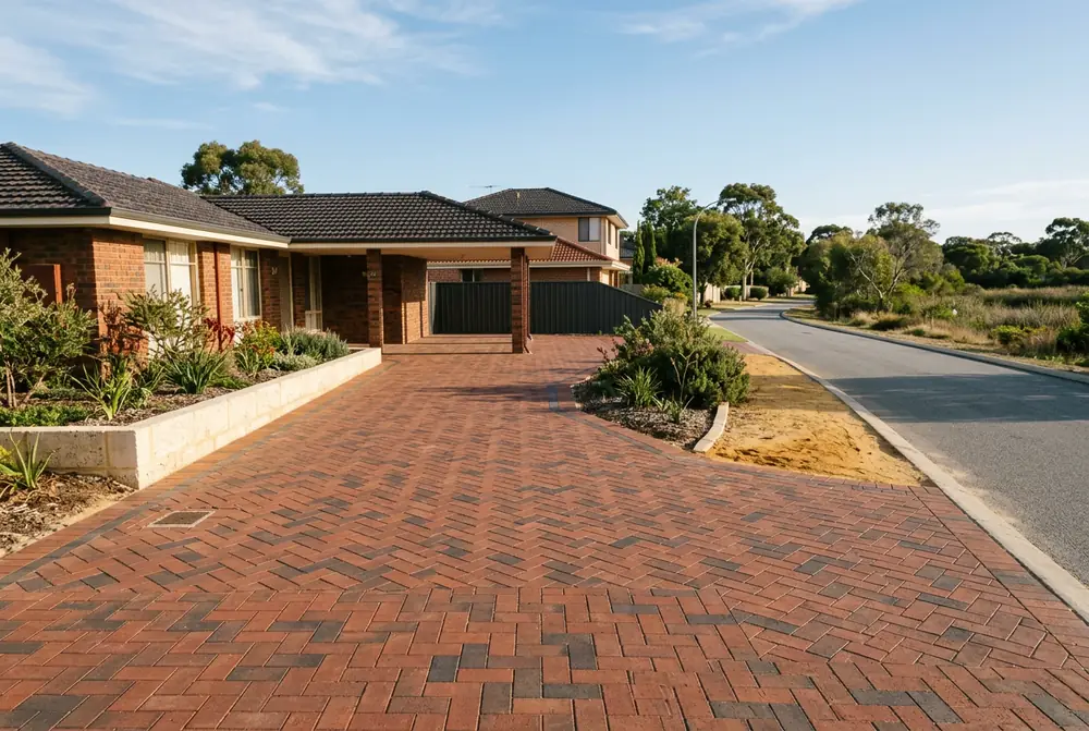
Carine is about 10 km south west of IBP Paving's Landsdale base, as a straight line on the map. It is a settled suburb of detached homes built between the early 1970s and 1987, wrapped around a large wetland reserve, and the paving work reflects both: replacing and relaying driveways that have carried cars for 40 years or more, laying new outdoor areas, and getting drainage right on lots near the swamps. We bring over 20 years of experience to it and back every job with a lifetime workmanship warranty.
Carine Regional Open Space and the swamp fringe
Carine Regional Open Space takes up about a third of the suburb. It is centred on Big and Little Carine Swamps, and the low lying ground around them was once market gardens. For paving and drainage it is the feature to plan around, because the ground does not behave the same way at the reserve edge as it does a few streets uphill. Lots on the swamp fringe usually have a shallower water table than the higher streets, and the reserve gives the houses that face it a bush and wetland edge, where we suggest keeping non combustible paving up against the walls.
When the water table is close: Stirling's 1.2 metre trigger
The City of Stirling's drainage rules have a standard case and a stricter one, and Carine has lots that fall into each. Which one applies decides how big the system has to be, so we work it out before quoting rather than after the hole is dug.
Standard lots are sized for at least a 1 in 1 year, 60 minute storm, about 15 mm over the site, with impervious area in square metres times 0.015 giving the cubic metres needed. The smallest soakwell for roof water is 900 mm in diameter by 600 mm deep, kept at least 1 m from structures and boundaries. Where groundwater is within 1.2 m of the surface, among other triggers, a drainage management plan applies and storage is designed for a 1 in 20 year storm.
Source: City of Stirling, On Site Stormwater Drainage Criteria (June 2024).
On a dry Carine lot with 300 square metres of roof and paving, the standard rule gives 4.5 cubic metres. On a swamp fringe lot we test the groundwater first, because a soakwell sitting in water does not drain and the larger design storm may apply. There we often use shallower, wider units and grated drains to spread the load. See our City of Stirling soakwell requirements page for the full criteria.
Spearwood sand and the western salt band
Most of Carine is typically on Spearwood sand, yellow and quick draining once you are above the wetland ground. It compacts well, so a properly prepared limestone base gives a driveway that stays flat. The coast is roughly 2 to 4 km away, and the western streets are likely to get moderate salt exposure. On those lots we pick a paver grade suited to salt air, use washed bedding sand and recommend sealing the exposed surfaces. Further east the exposure fades and ordinary pavers are fine.
Early 1970s south of Reid Highway, the rest by 1987
The streets south of Reid Highway were built in the early 1970s and the rest of Carine progressively from 1975 to 1987. In 2016 the suburb had 2,425 dwellings, nearly all detached houses, though duplex infill is growing. That spread of build dates means three common jobs:
- Replacement of 1970s concrete and early paver driveways that have cracked or worn out.
- Relaying 1980s paver driveways where the pavers are fine but the base has moved.
- A new shared driveway on duplex sites, with a soakwell layout for two homes.
Any new or changed crossover needs a Crossover Installation Application approved by the City first. Generally one crossover is allowed per street frontage, 3.0 to 6.0 m wide for a single house, and the pavers must be heavy duty units built for vehicles.
Source: City of Stirling, Crossover Policy; Crossover Guidelines Residential and Non Residential.
Around Carine
Carine is surrounded by Karrinyup, Duncraig, Hamersley, North Beach and Gwelup, with Warwick close by. The full list is on areas we service.